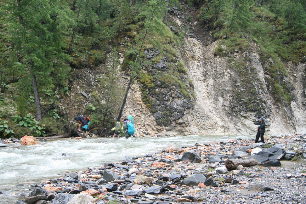
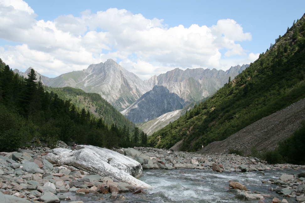
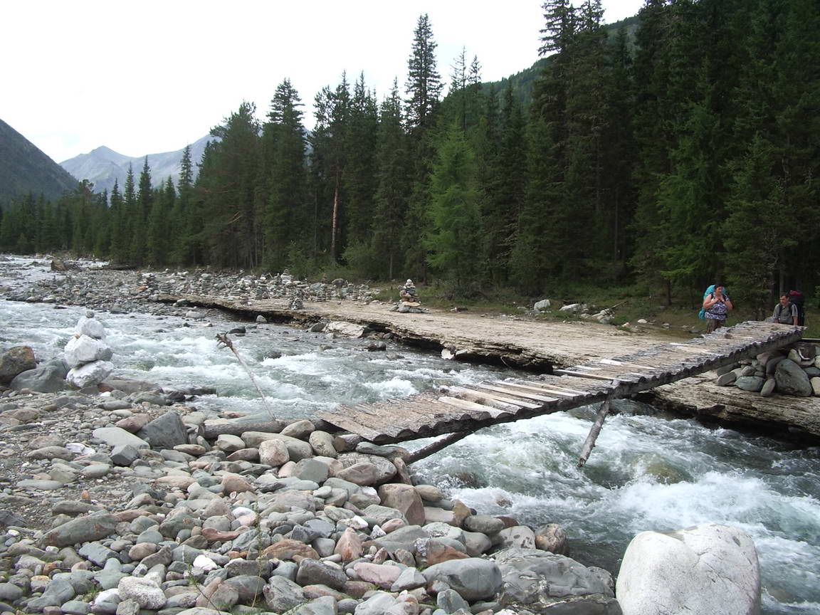
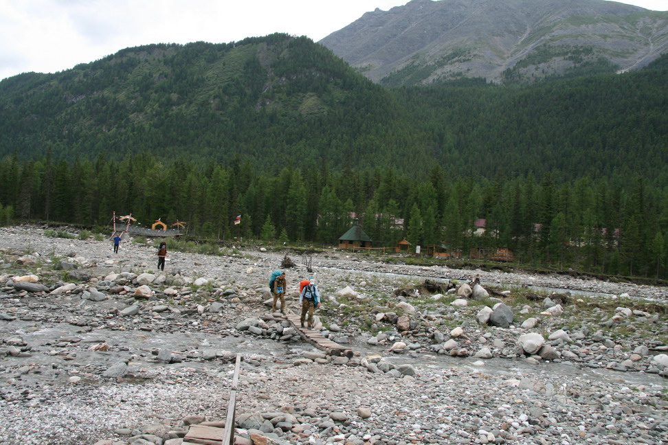
Crossing Zungol river
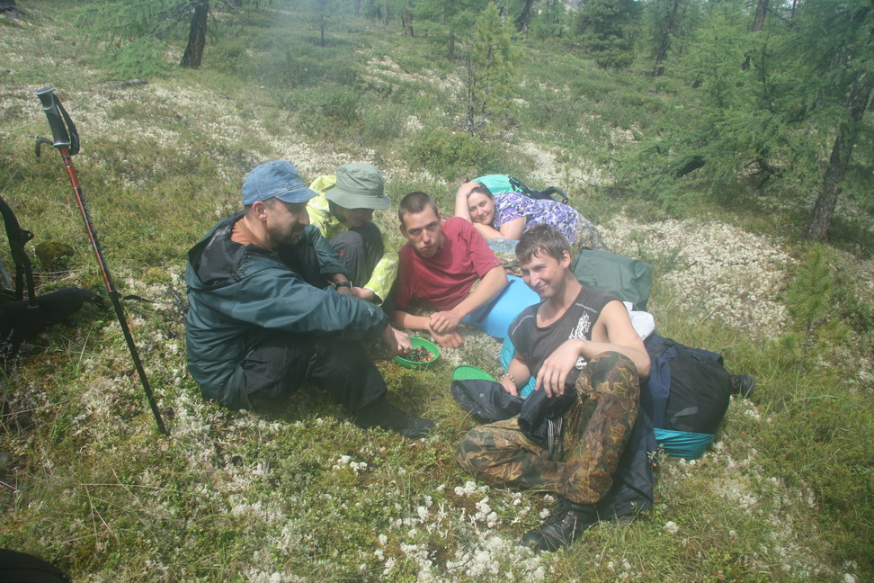
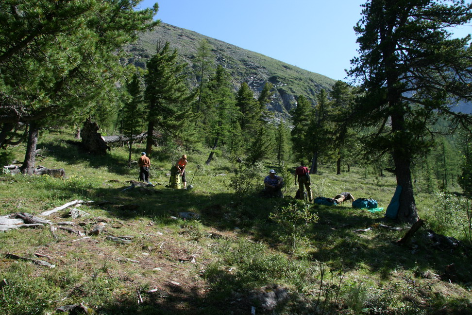
Stop for a snack
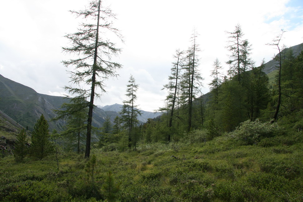
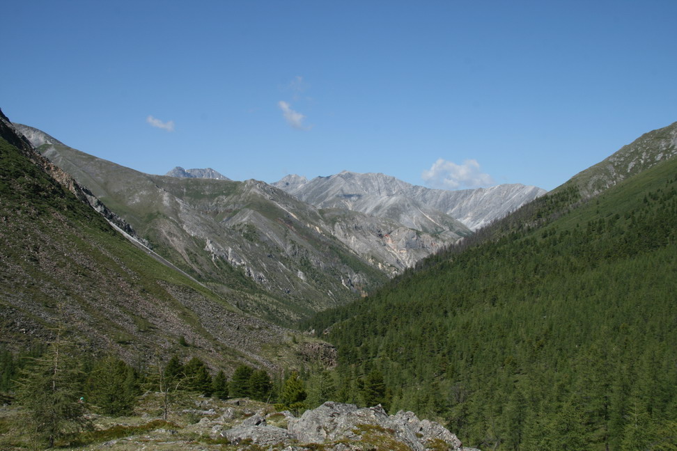
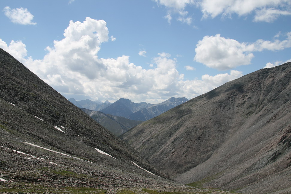
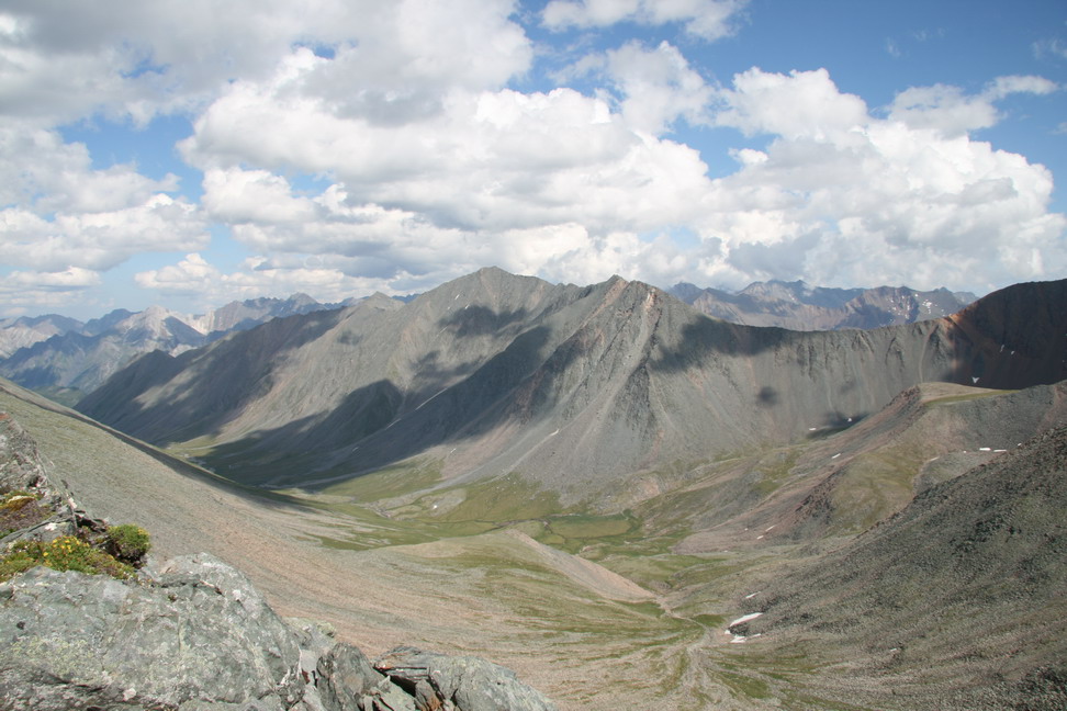
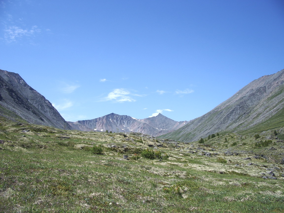
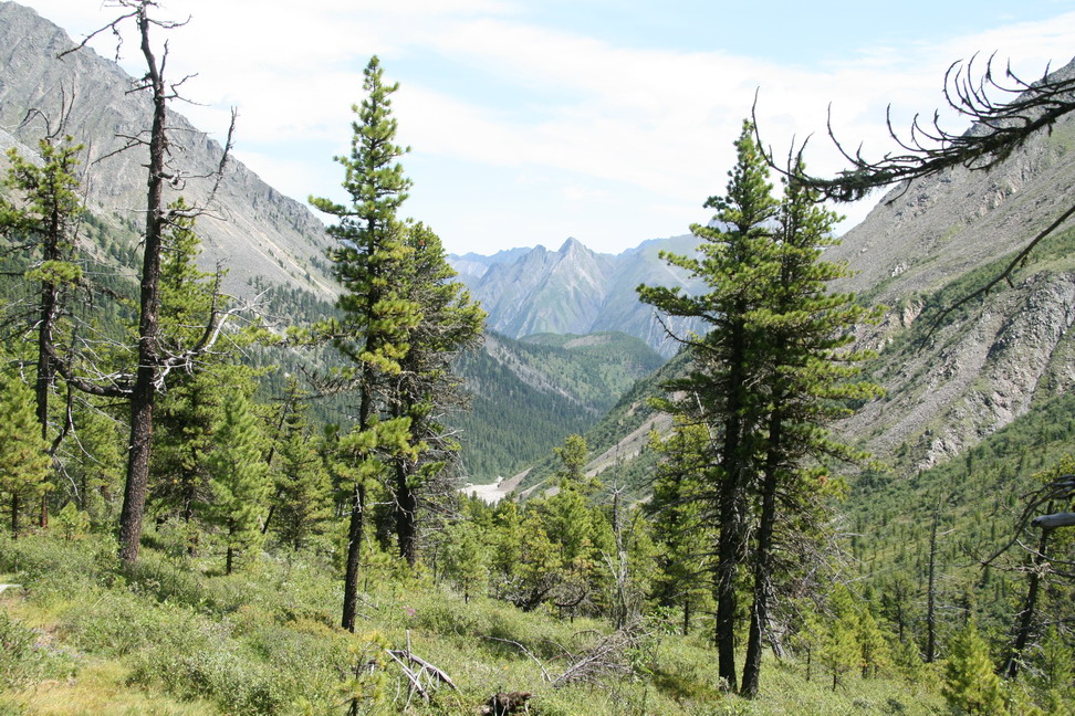
Up the walley
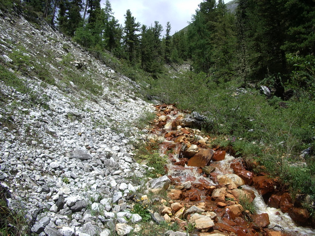
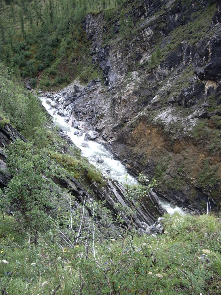
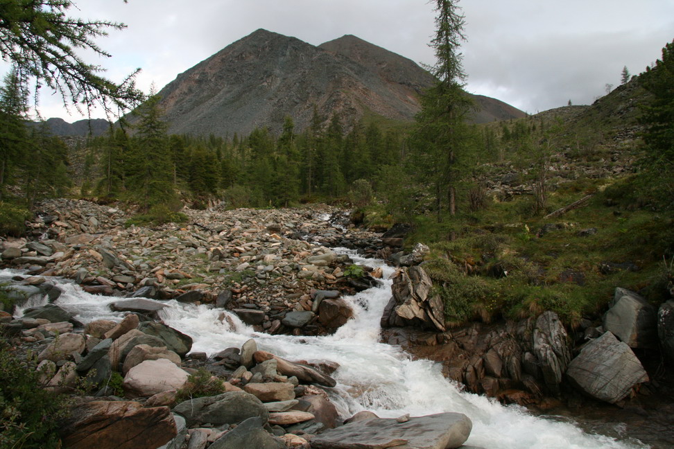
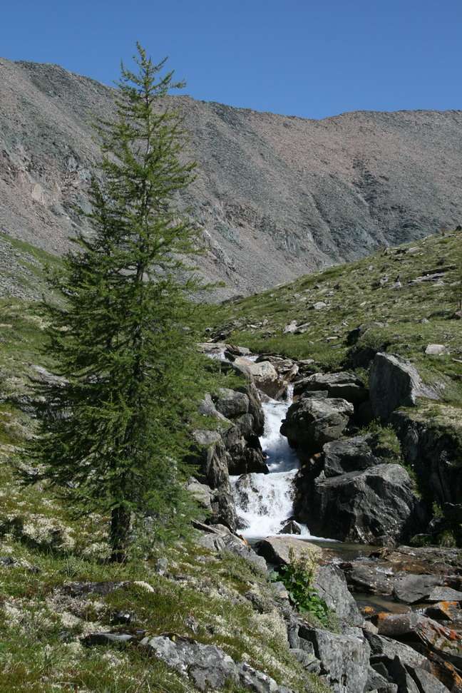
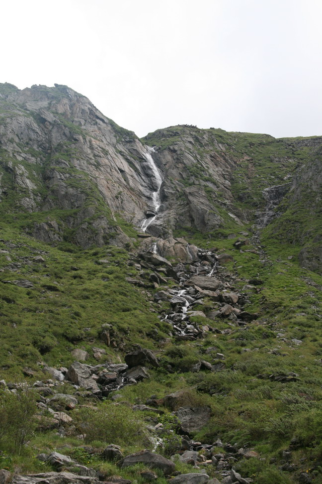
The stream on the right side - much iron in the water
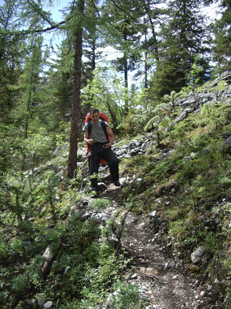
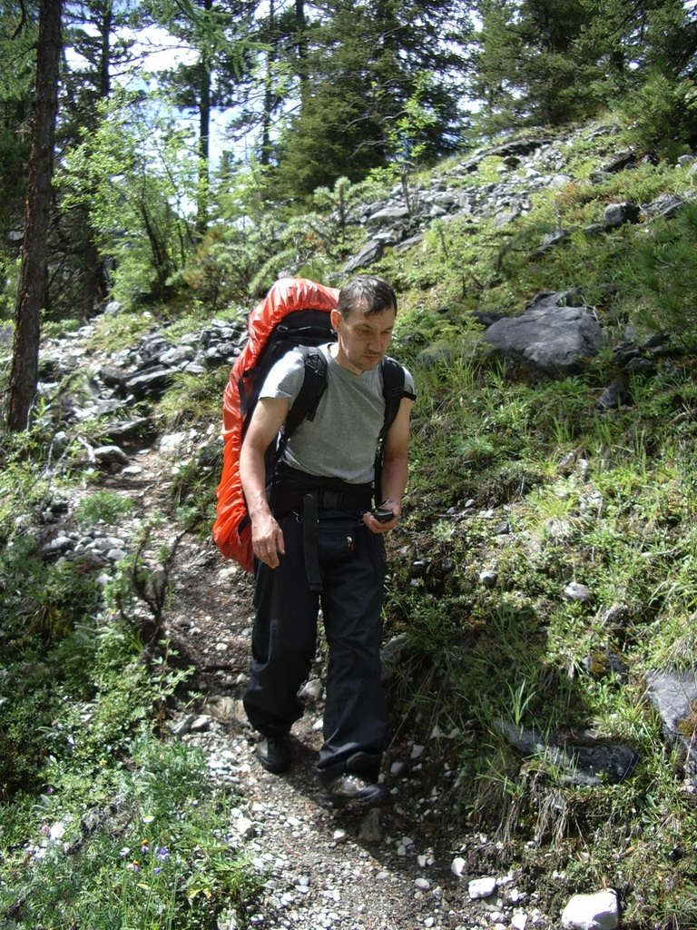
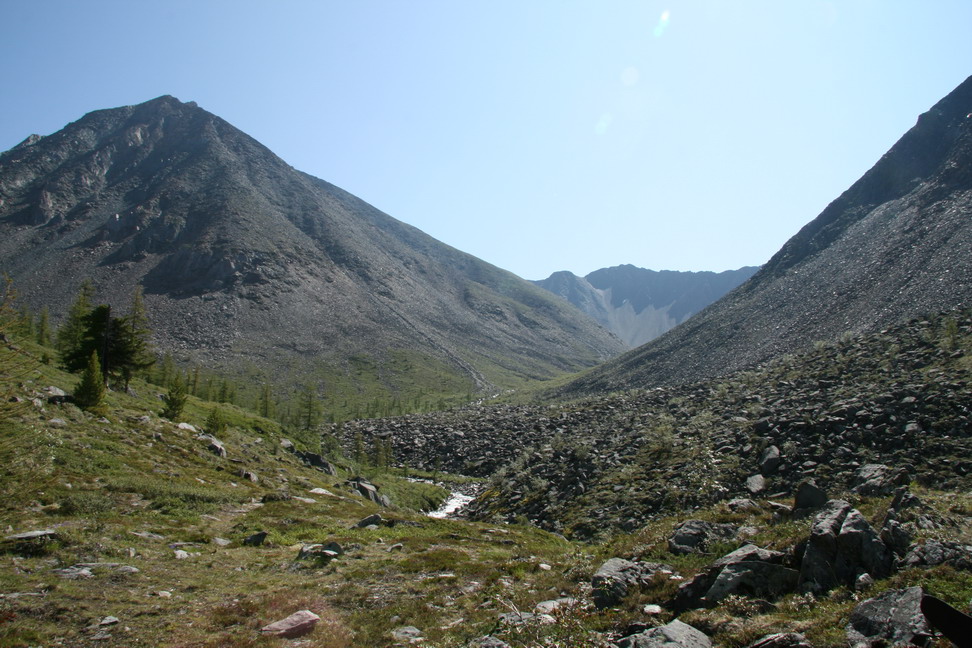
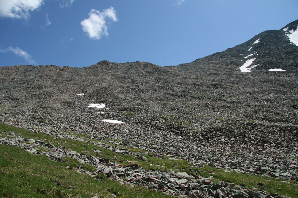
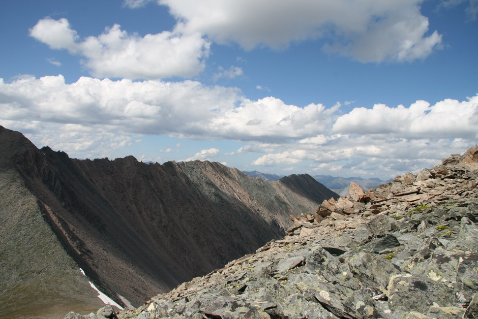
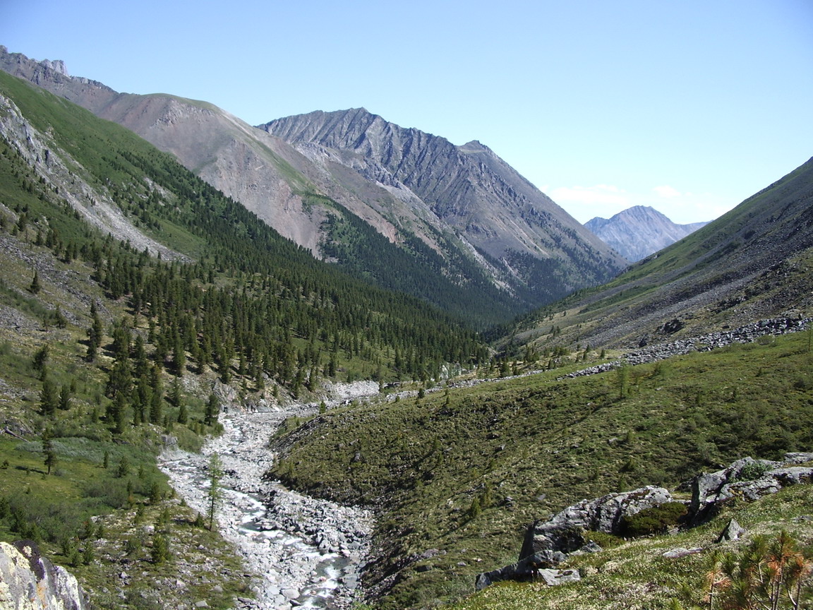
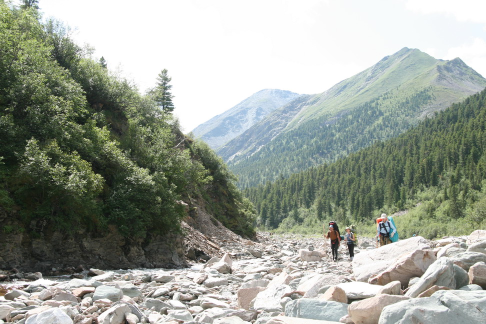
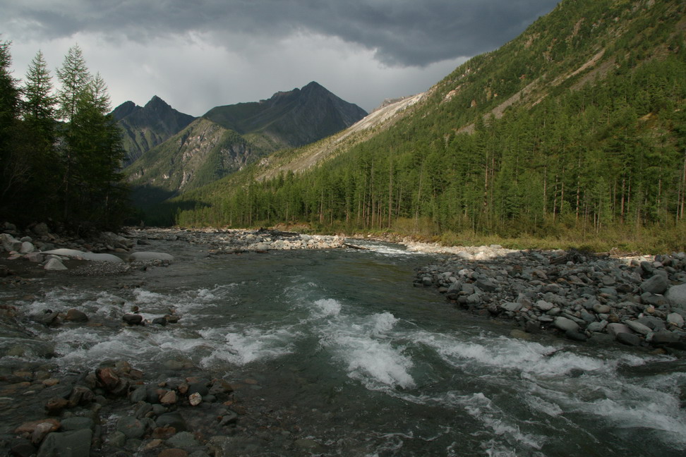
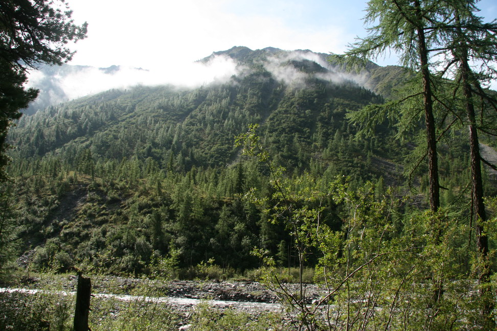
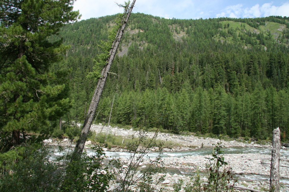
On the trek
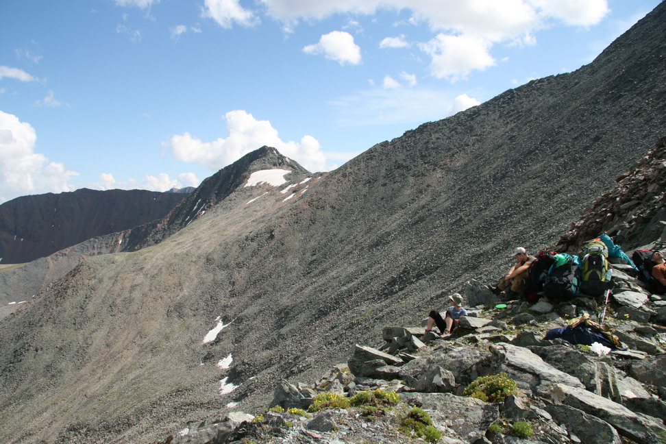
If you have a GPS device you still need your head
|
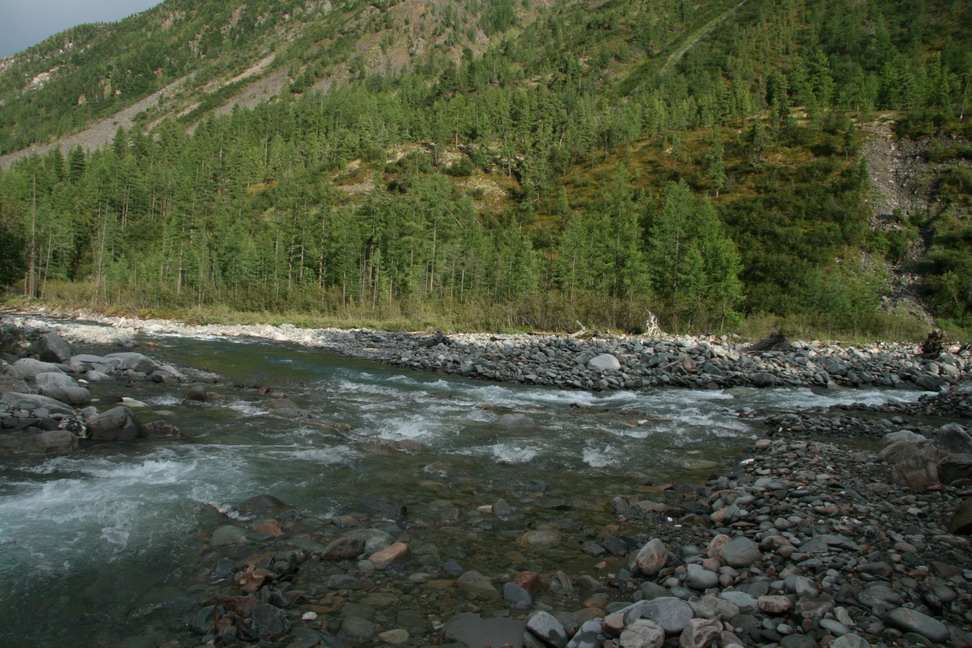
Crossing Zungol river |
Stop for a snack |
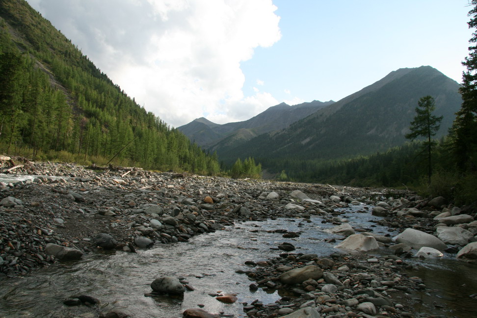
Up the walley |
|
The stream on the right side - much iron in the water |
On the trek |
If you have a GPS device you still need your head |
The river near "The Cup" |

River entering "The Cup" |
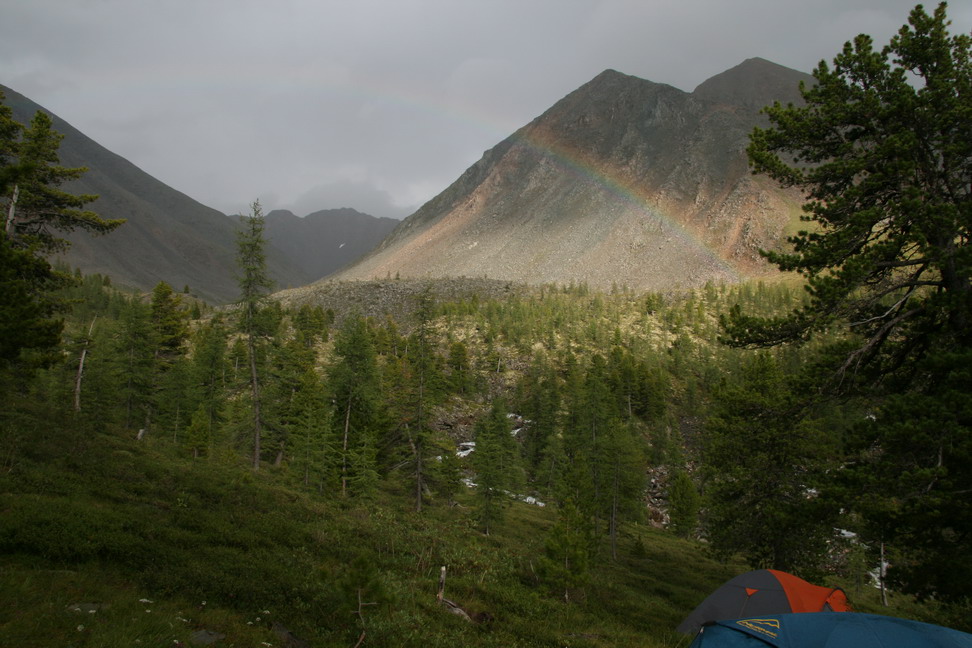
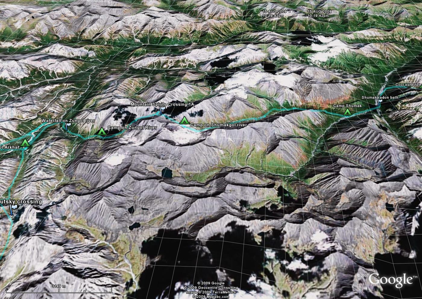
Camp on Zungol |

Rainbow |
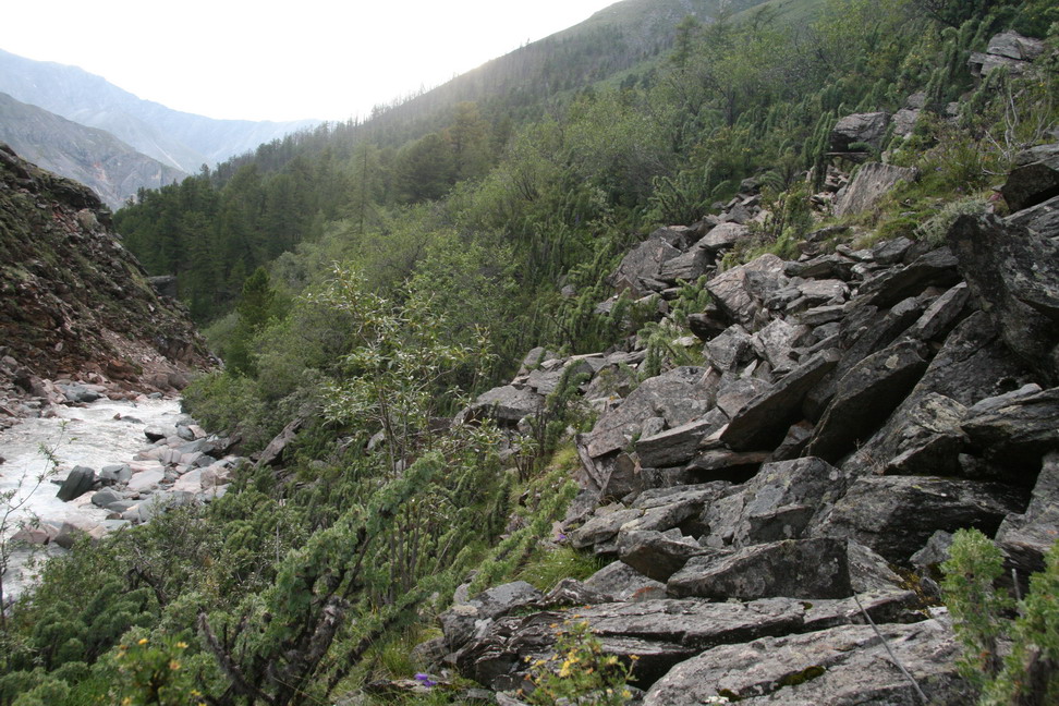
Along a steep slope |
Confluence. Left - to Mountan spirits and Ust-Ilimtsev mountai crossings. Left - to the Kostinoi crossing (?) |
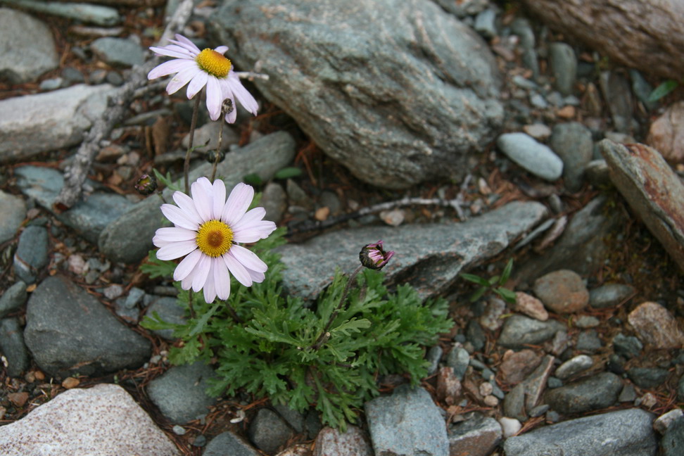
Asters |
Packing |
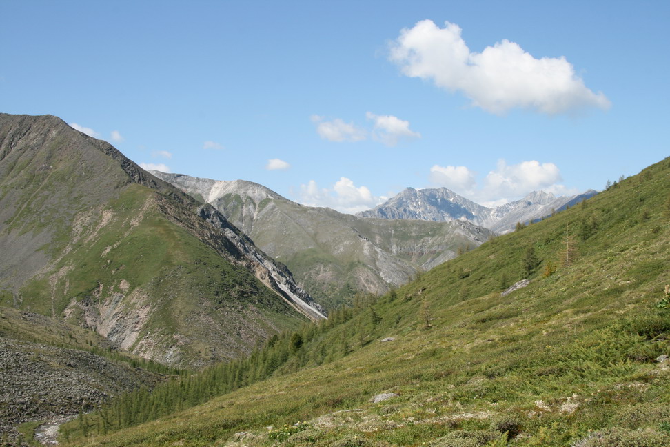
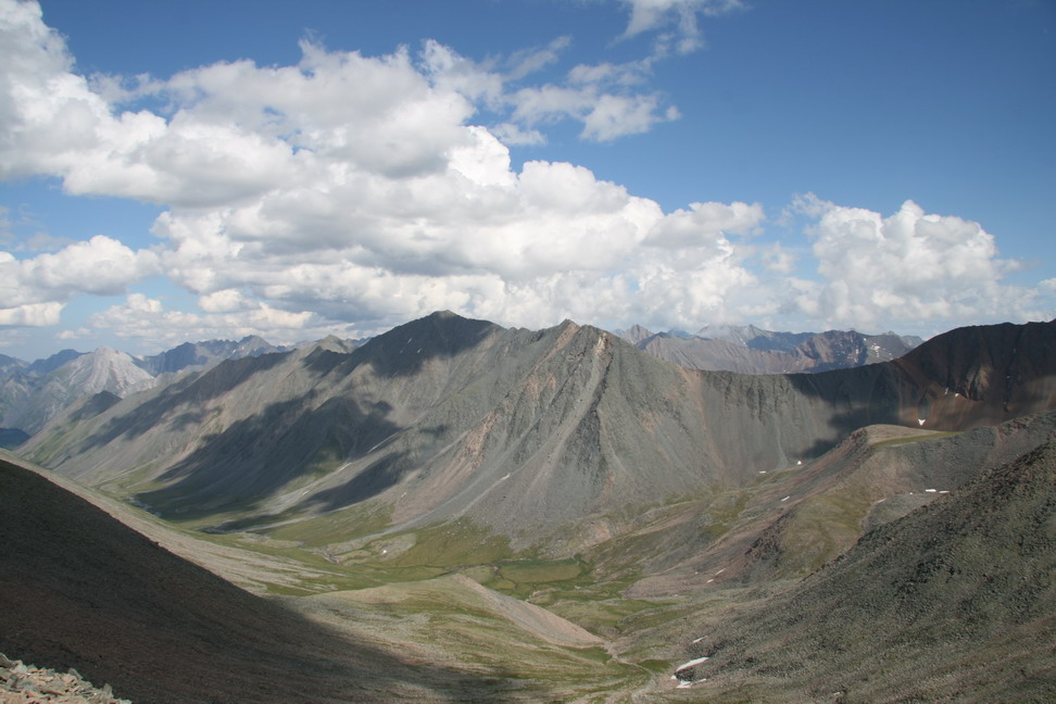
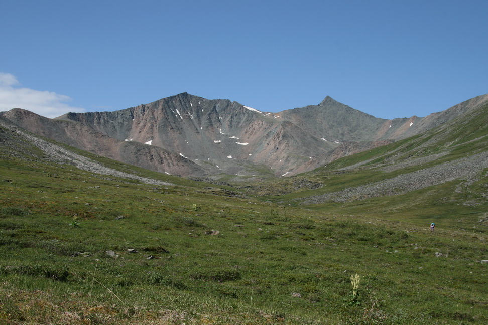
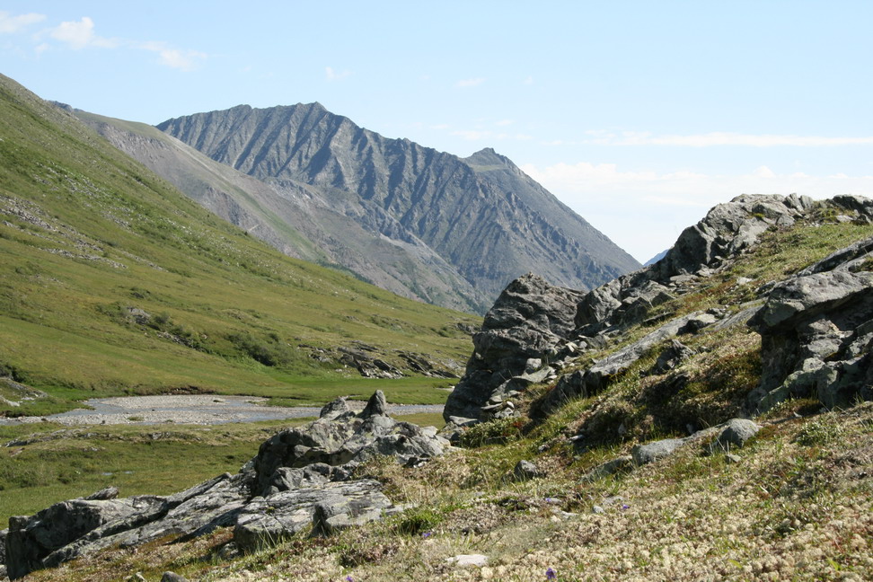
View back to Zungol valley |
Mountain 3037m, to the right frpm it - Seminarsky, Chetyrekh and Labirint mountain ctossings. |
Zungol valley - came from there |
Zungol |
Mountain spirits crossing behind |
Mountain spirits crossing |
On the crossing |
View to Zungol valley from the crossing |
View to Ust-Ilimtsev crossing col from Mountain spirits crossing |
View to Shkolyar crossing and Shumakgol ricer valley |

Climbing down |
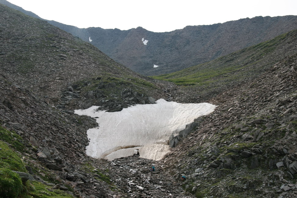
The Mountain spirits crossing and glacier under it |

The glacier - our footprints everywhere |
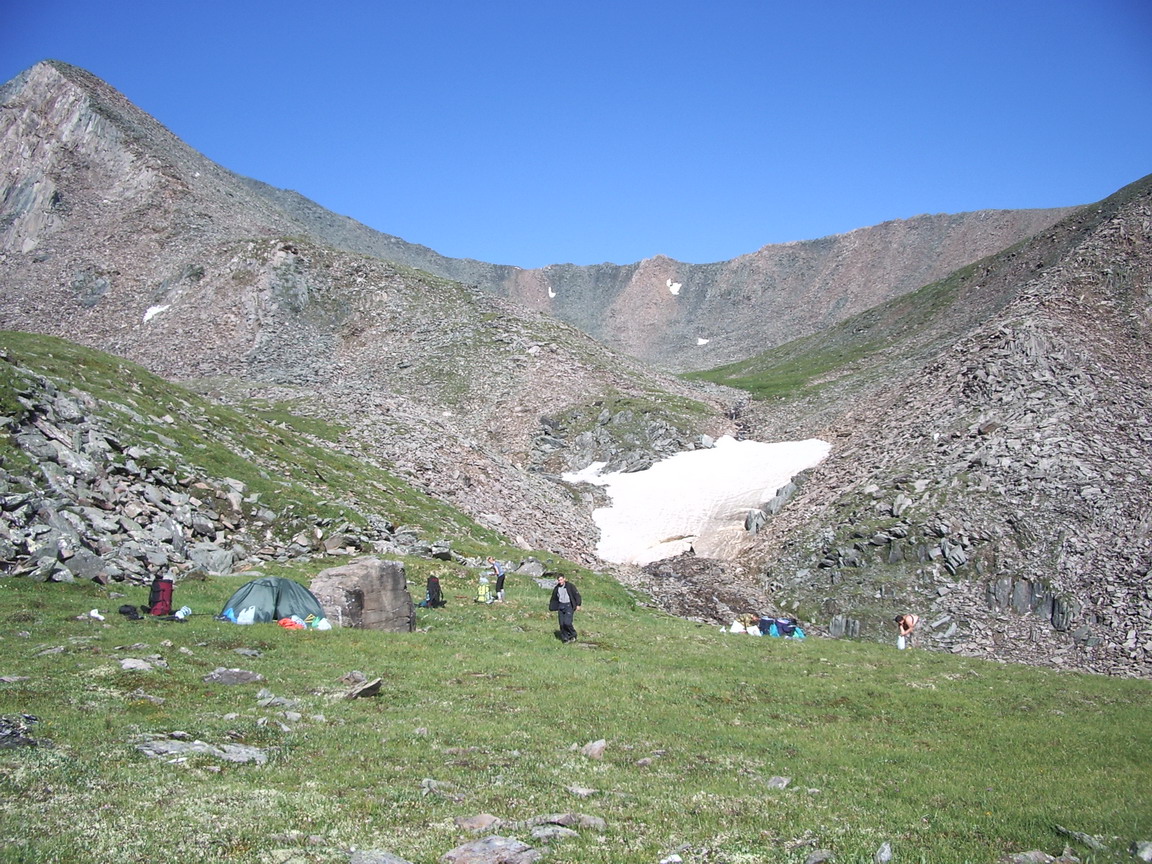
Packing next day |
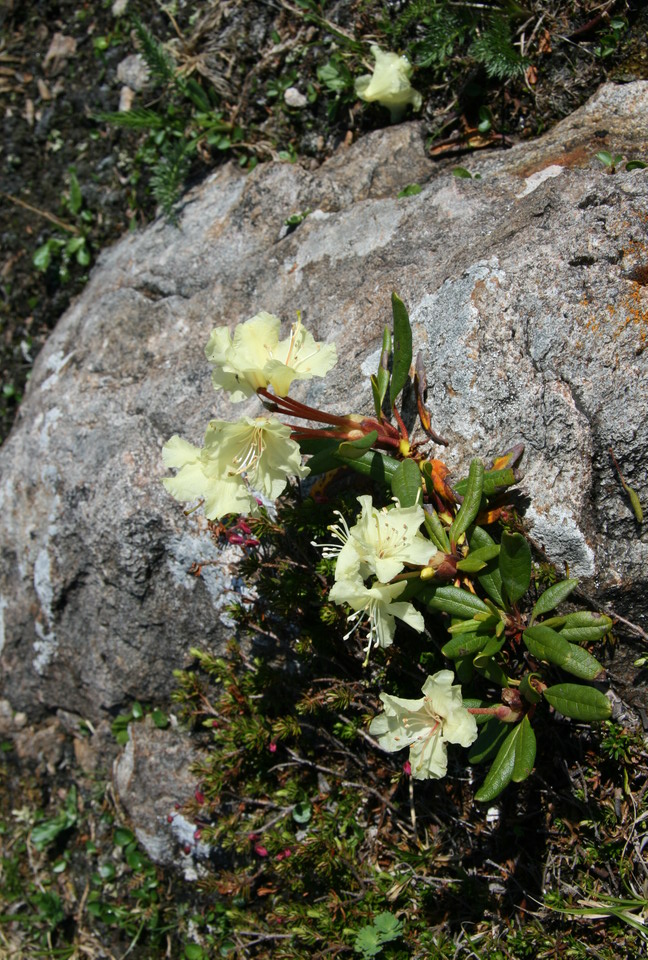
Rhododendron |
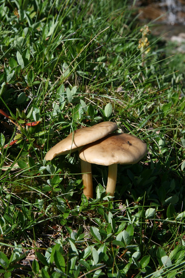
Oyster mashroom? |
Shumakgol valley |
Shumakgol valley - looking back |

Shumakgol |
Shumakgol |
The river |
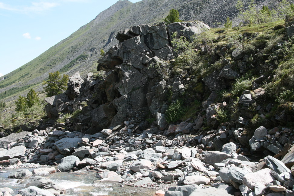
Rocks |
Forest edge |

Mushroom forest |
Cedars |

Water |
Along the river |
Shumak river is between the ridge to the right and sharp ridge farther. Then Right Shumak river. The tall mountain ahead - Pilman Mountain. |
Shumakgol flows into Shumak |
Shumak river downstram view |
Shumak upstream view - we should have come from there |
View from the camp |
The fisherman on Shumakgol |

Crossing to the right bank |
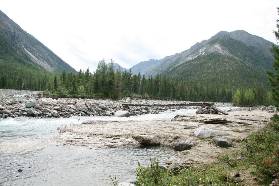
The bridge over Shumak and stone marks piled by the people |
Bridge and the island we camped on |

Left side springs |

Left side springs |
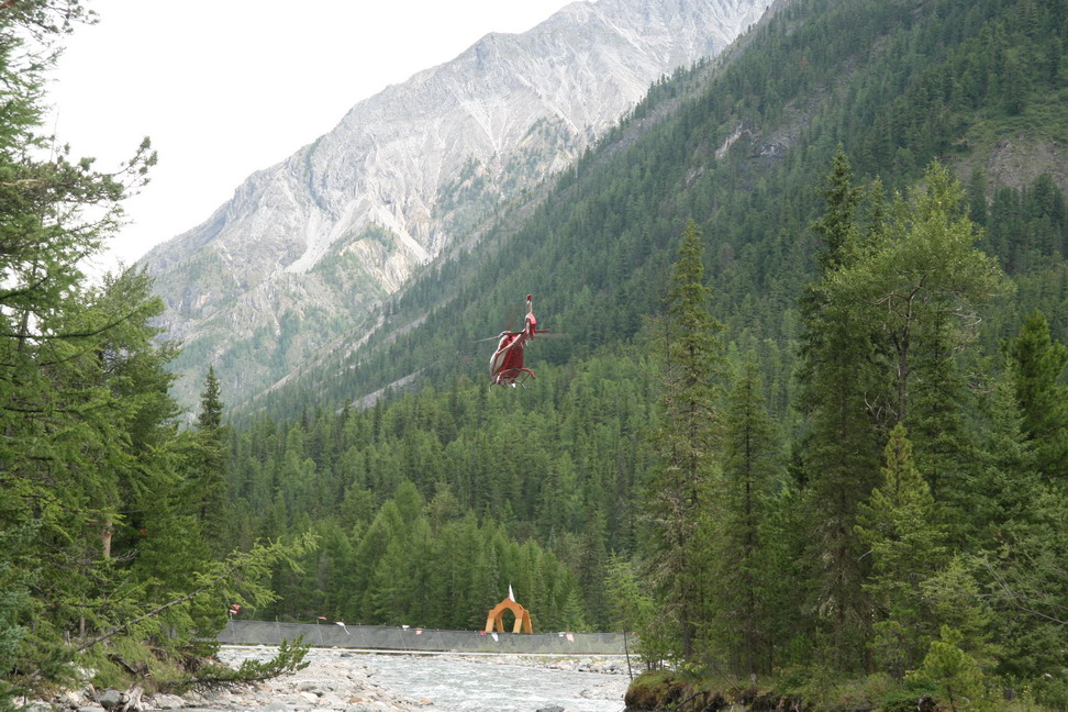
Chopper over the camping site |
Crossing to the right bank. First by a cable bridge across Shumak, then catwalk bridge across Left Shumak ricer |
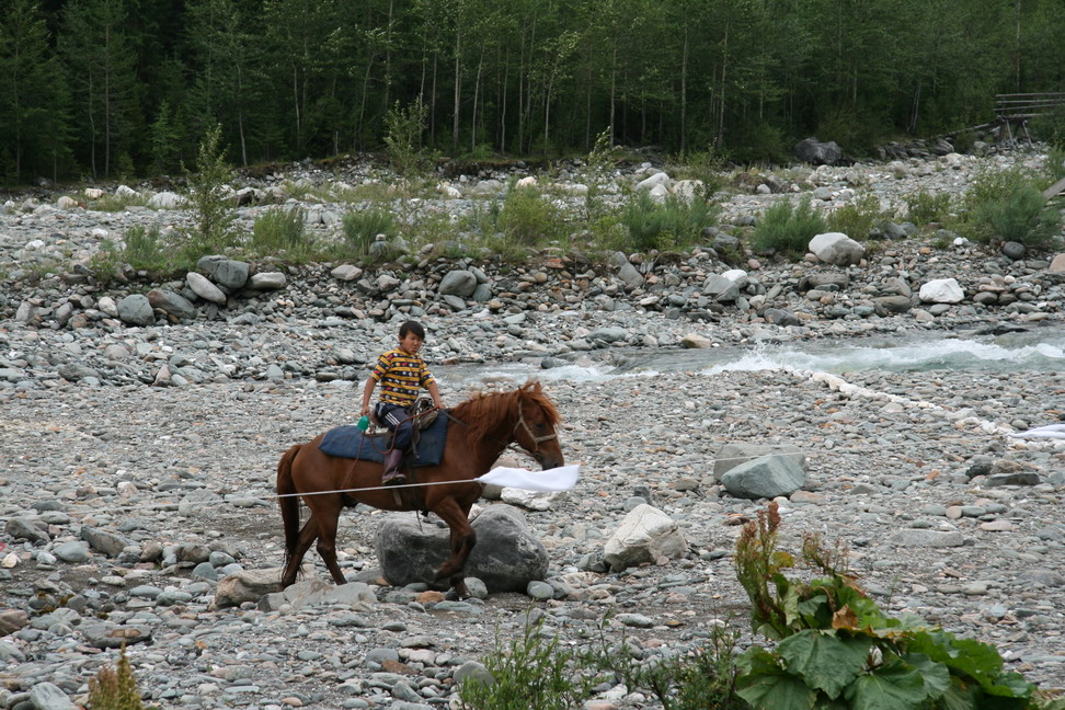
Local |
Springs onthe right bank |