


Datsan near Nilova Pustyn, Sand Mountain - Hair-Han behind |

Datsan |
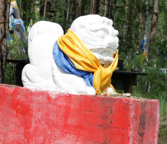
Lion |

Datsan |

Triangulation point can also be a sacred tree |
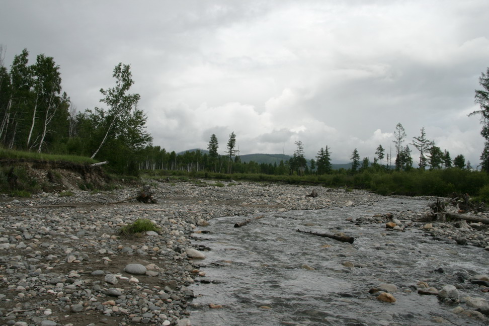
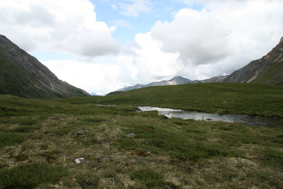
Ekhe-Ger river near crossing |

Fungi on a dead tree |
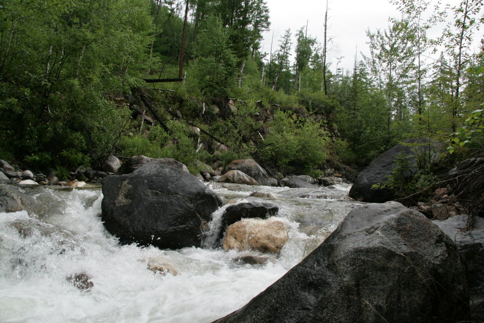
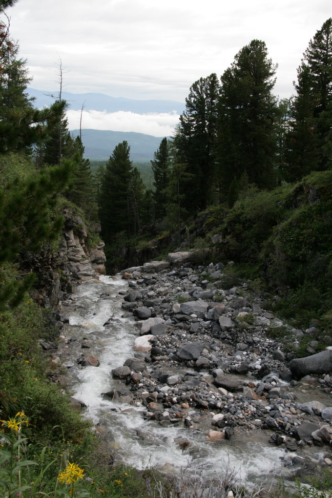
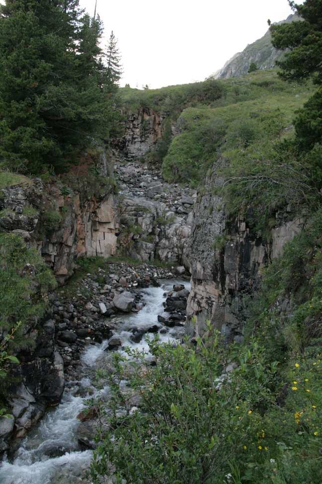
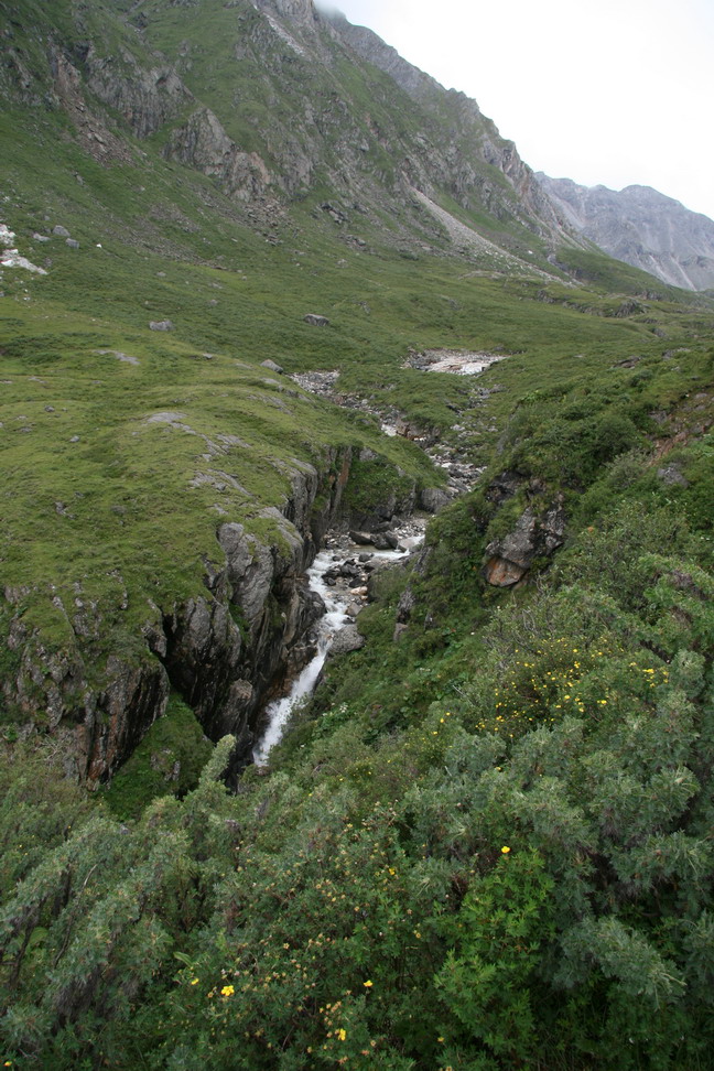
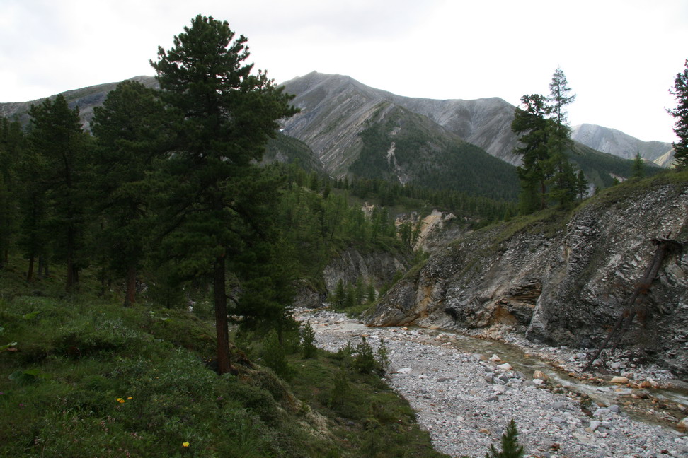
Rapids on Khubuty |
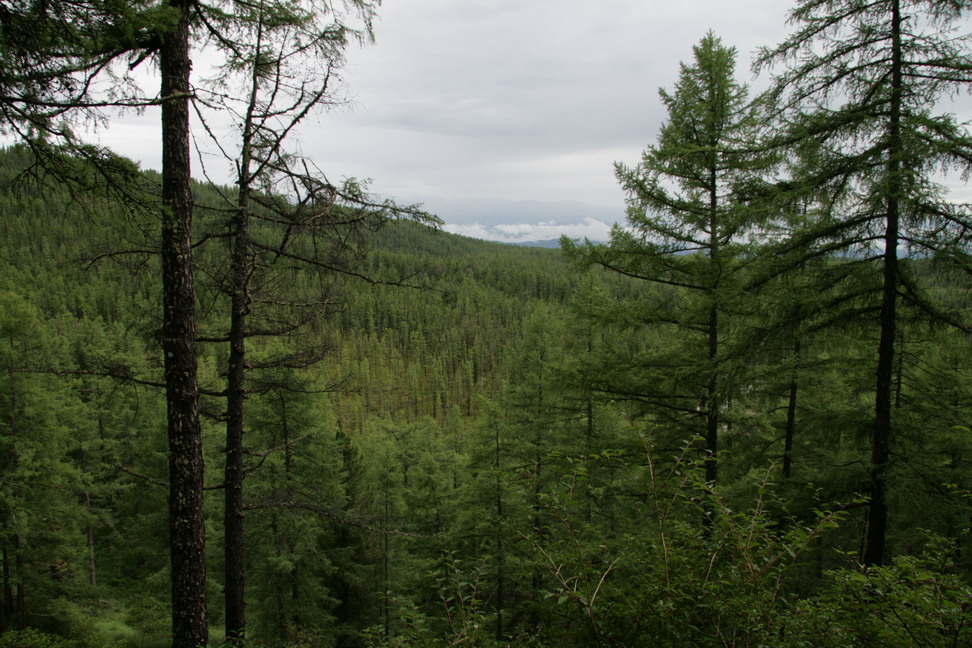
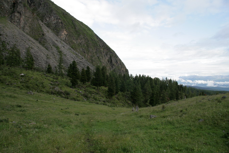
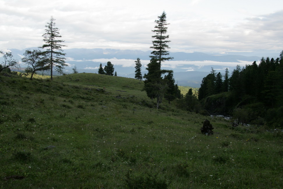
Weiew to the East from the trail along Khubuty |

Same fungi on a green larch |
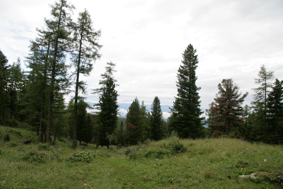
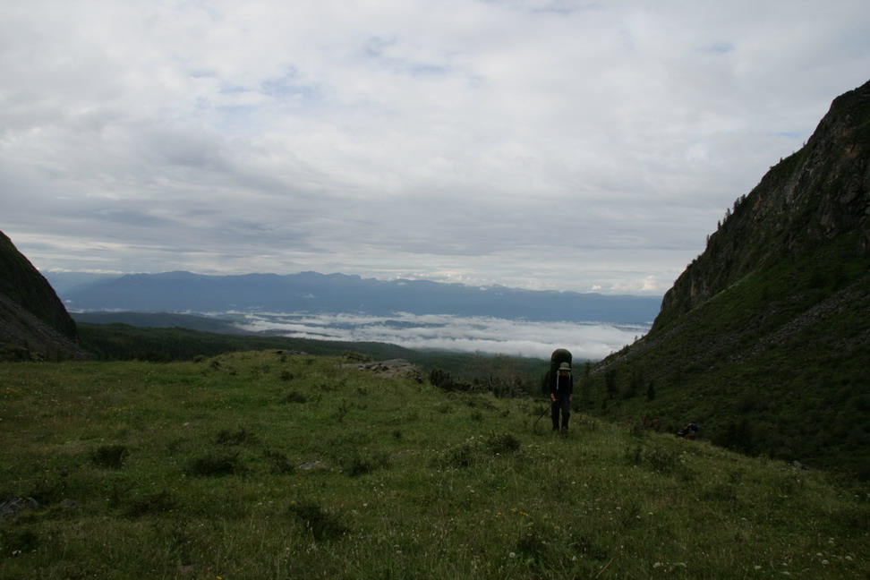
Look back after ascent |

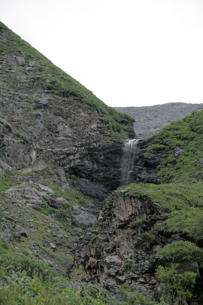
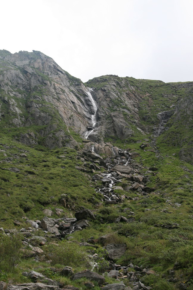
Waterfall |
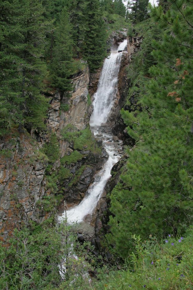
Waterfall |
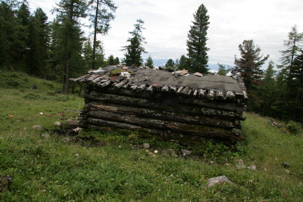
A hut near waterfall |
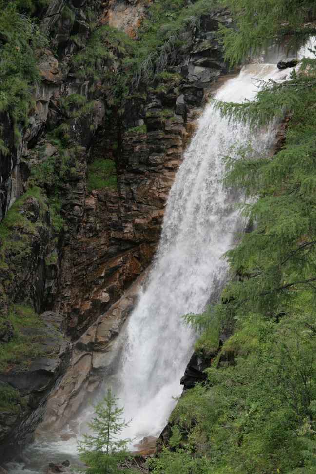
Power of the water |
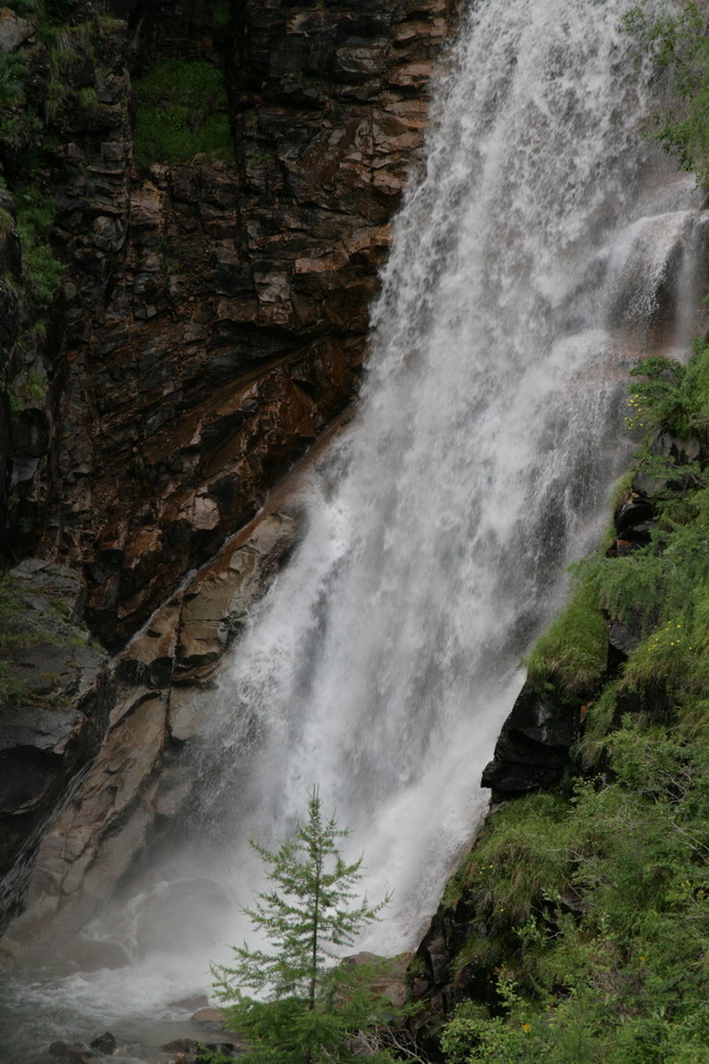
Waterfall |
Looking back |
Looking back |
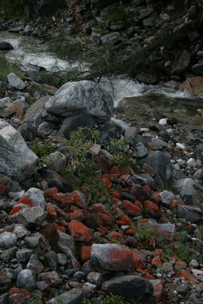
Looking down the river near the waterfal |
Looking up the river |
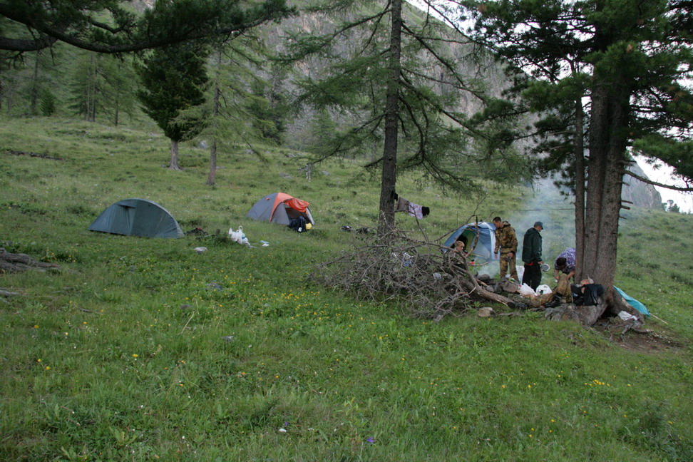
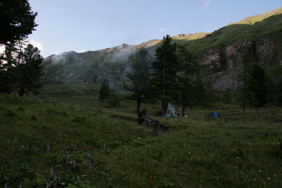
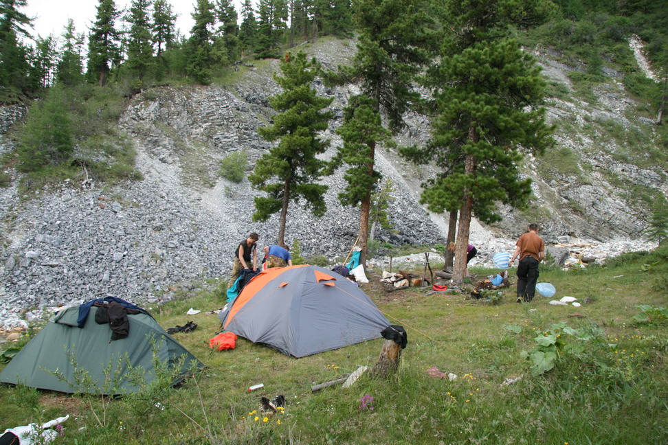
Camp near Khubuty waterfall |
У этого холмика поилка для коров и изба |
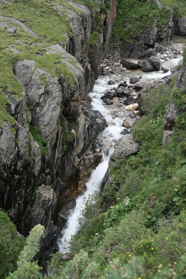
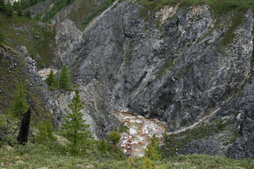
Canyon near the waterfall |

Canyon near the waterfall |
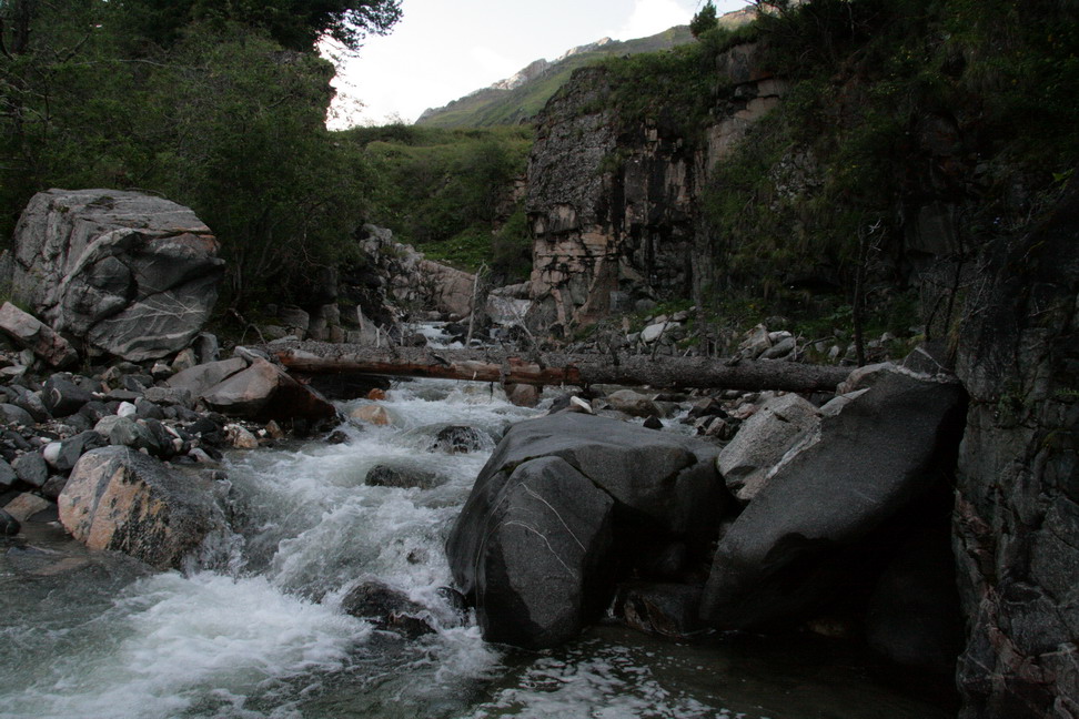
Canyon near the waterfall |
Path to the water |
Last sunbeams |

Camp near the waterfall | ||
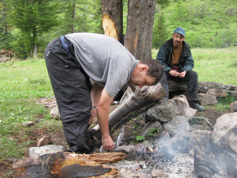
I also like to watch others working |

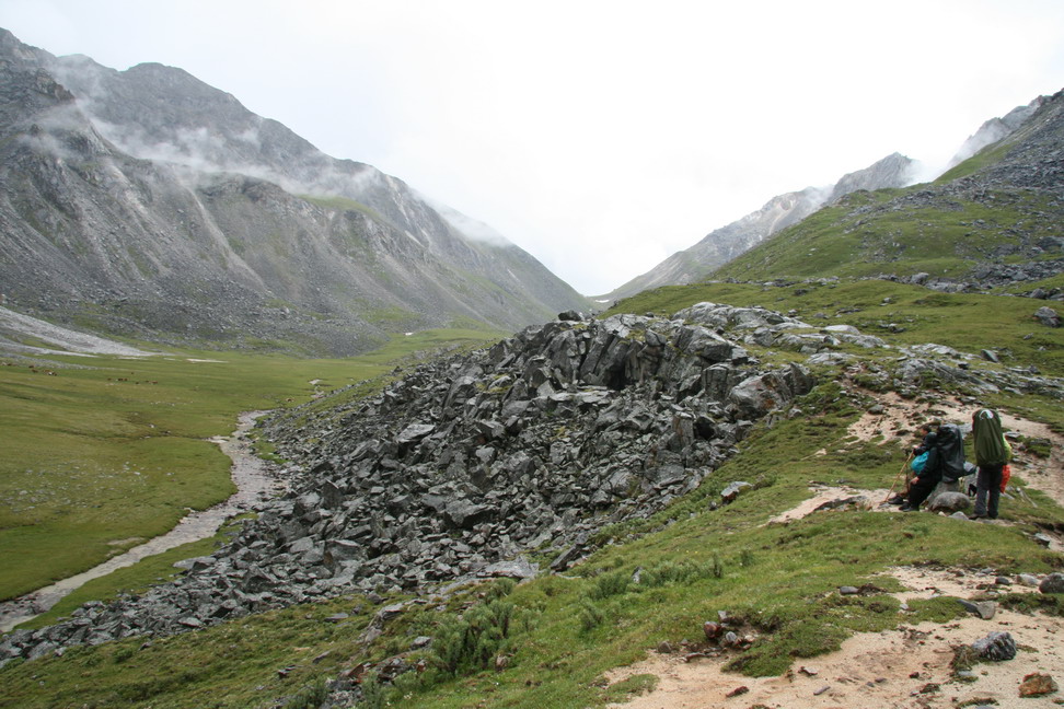
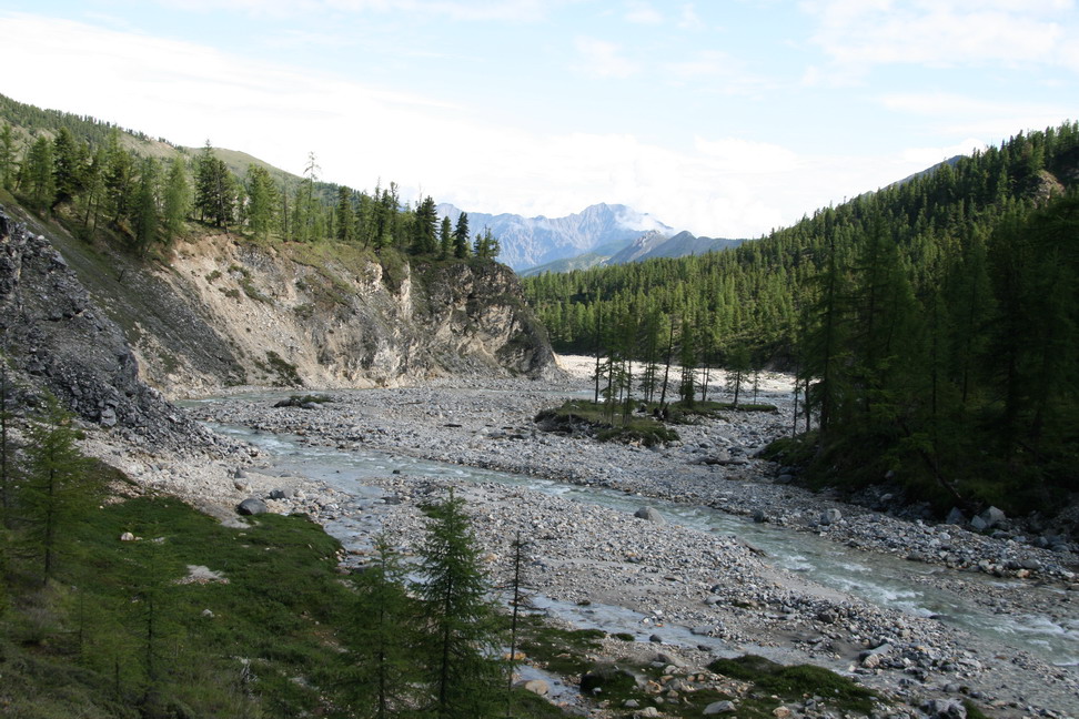
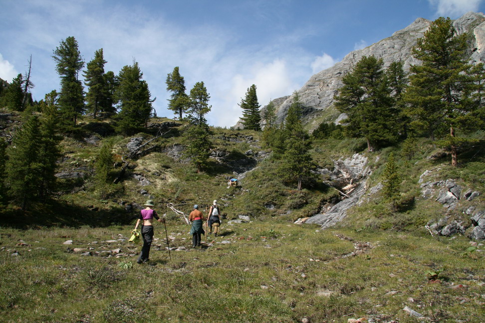
Up along Khubuty river |
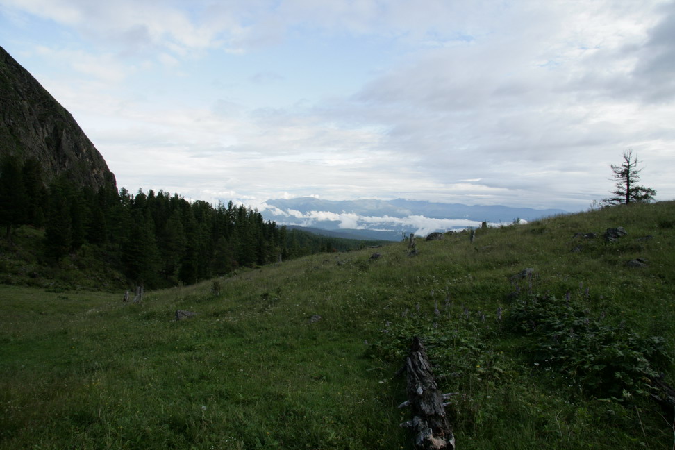
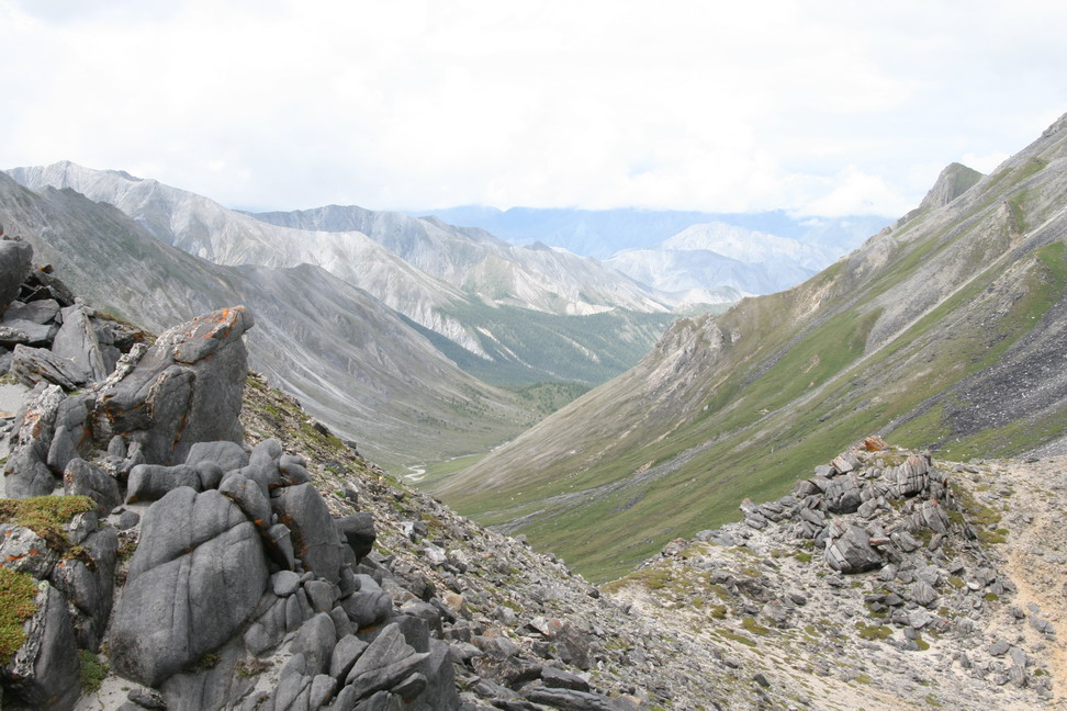
Tunkinskaya valley down there |
Another waterfall on Khubuty |
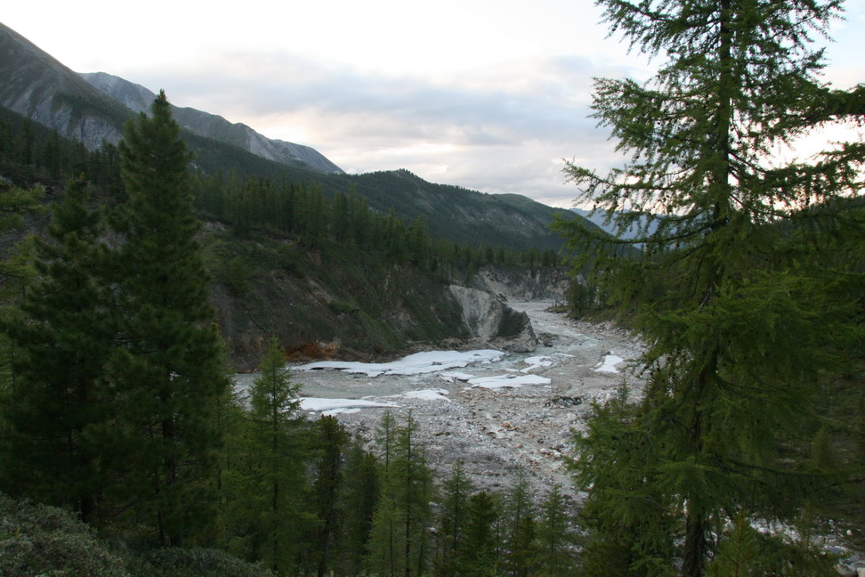
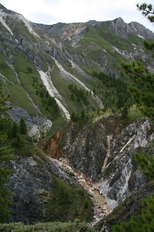
Khubuty canyon |
Deep |
Creek - left tributary |

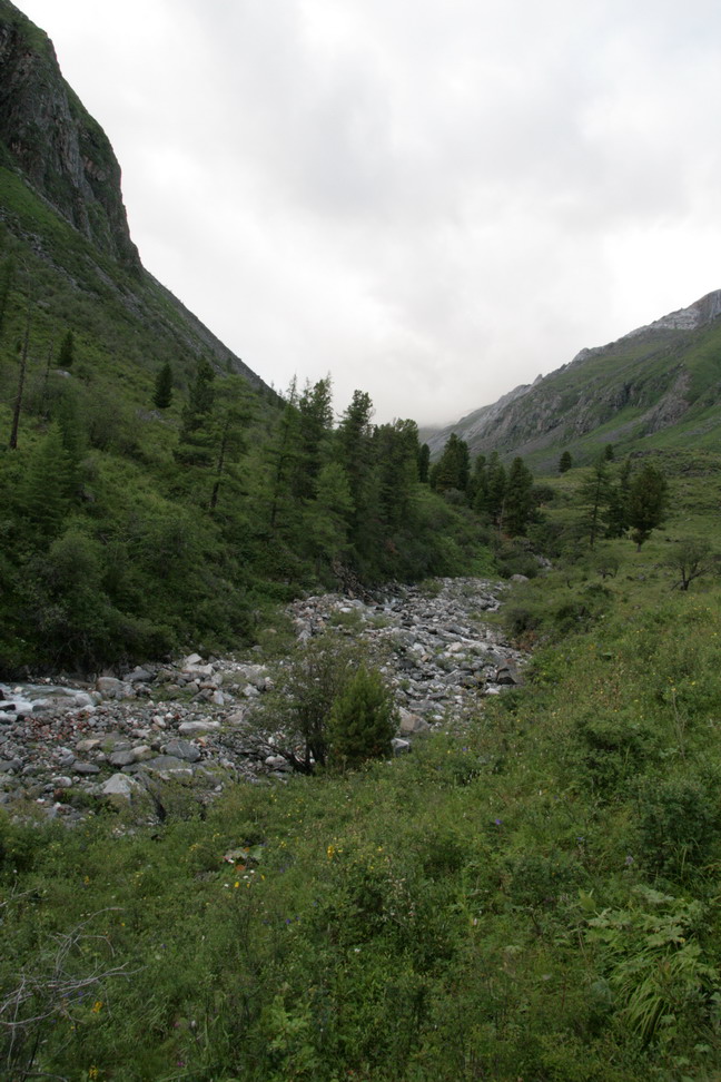
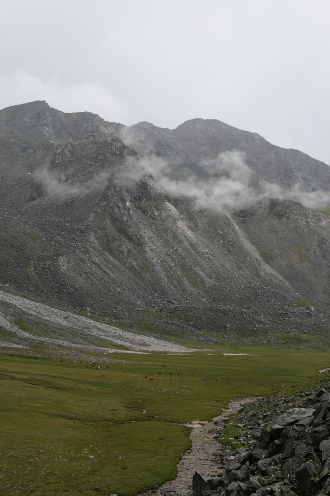
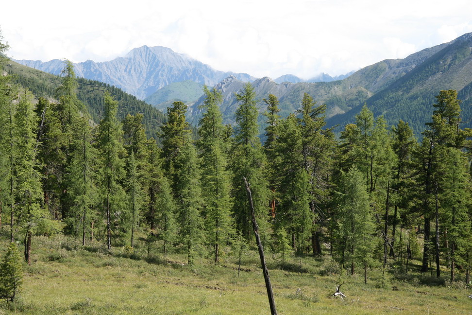
Khubuty valley |
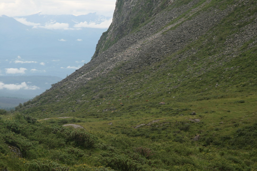
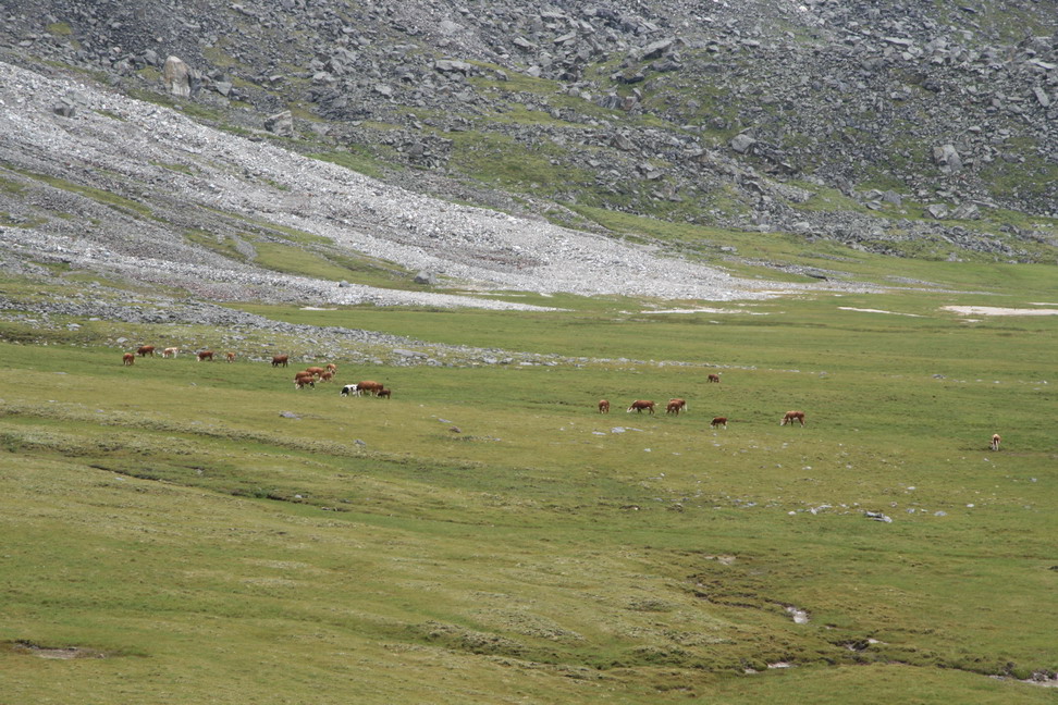
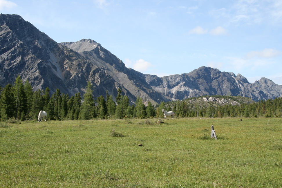
Mountain cows |

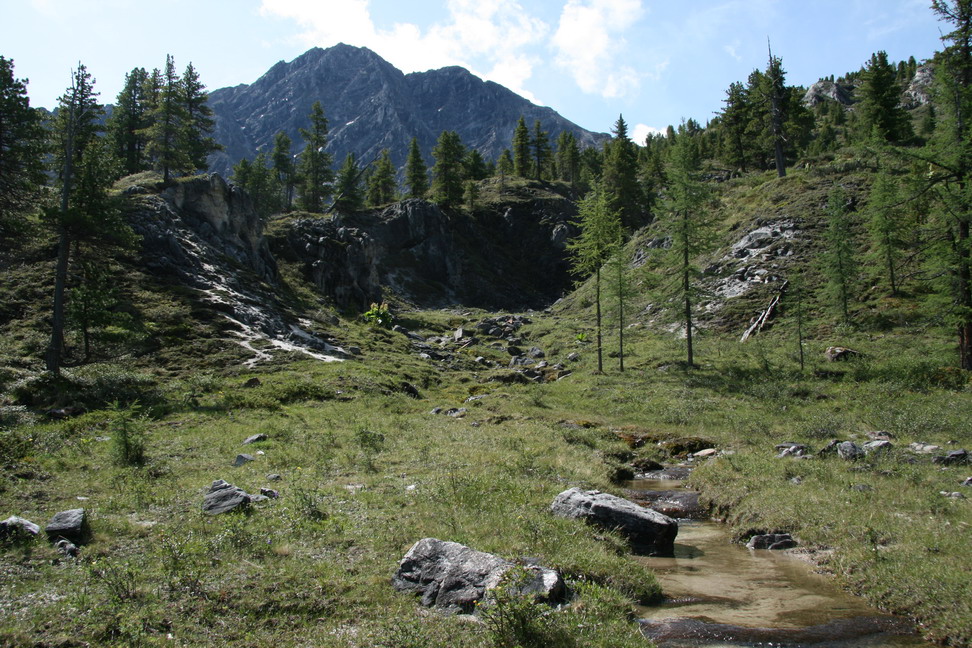
Water |

Snow in July |
Cows left under |
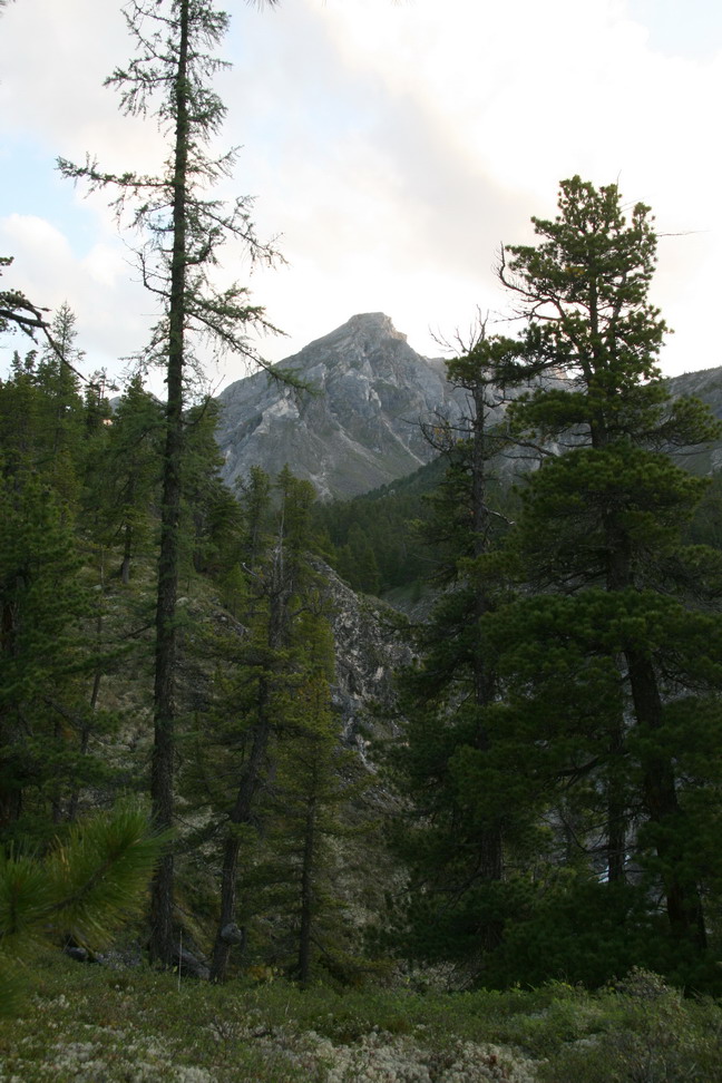
The mountain to the right - Navgather, 3029m (?) |
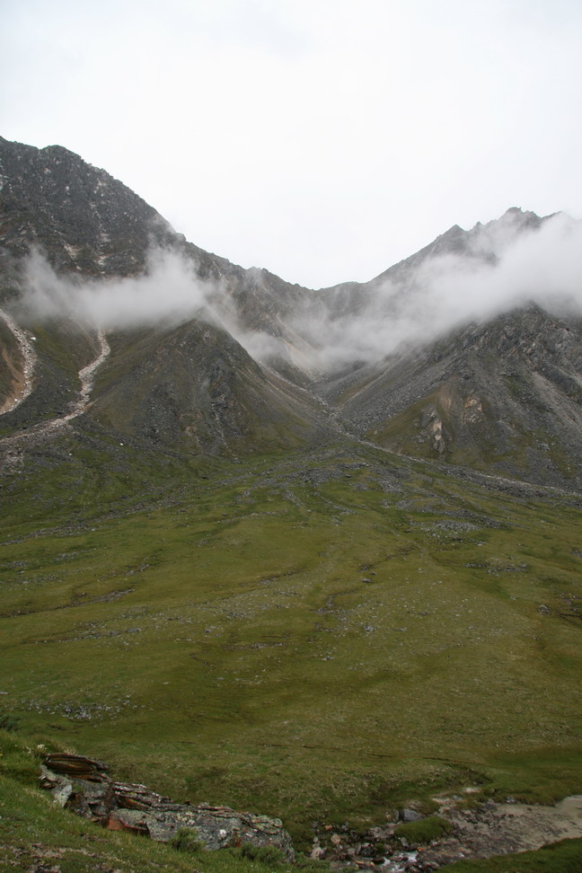
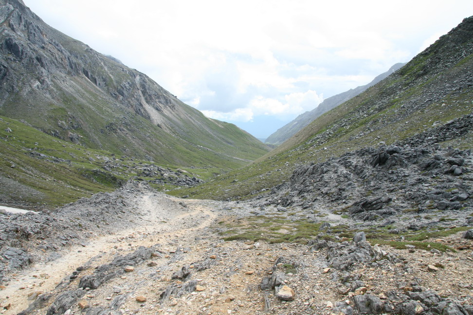
Khubutsky mountain crossing saddle ahead |
The cows left behind |
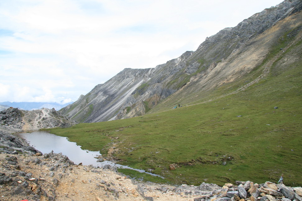
Looking South from the crossing, Granatovy mountain crossing is left around the corner |
On the crossing, going south |
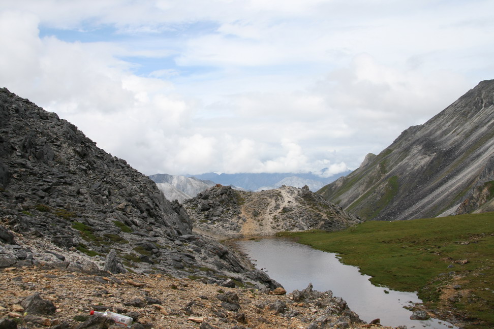
On the crossing, horse trails everywhere. |
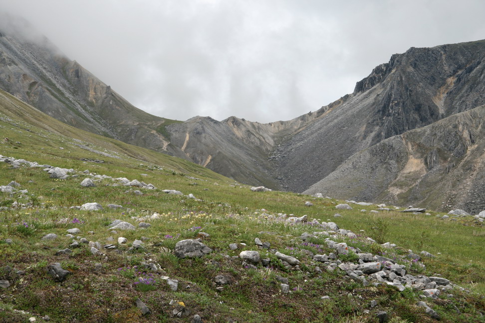
View south from the crossing - Baromgol river valley |
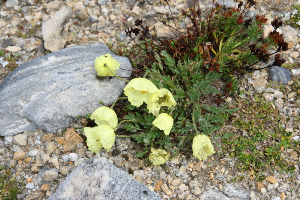
Poppies |
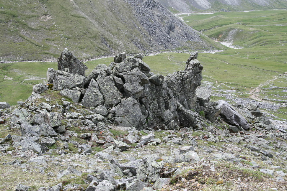
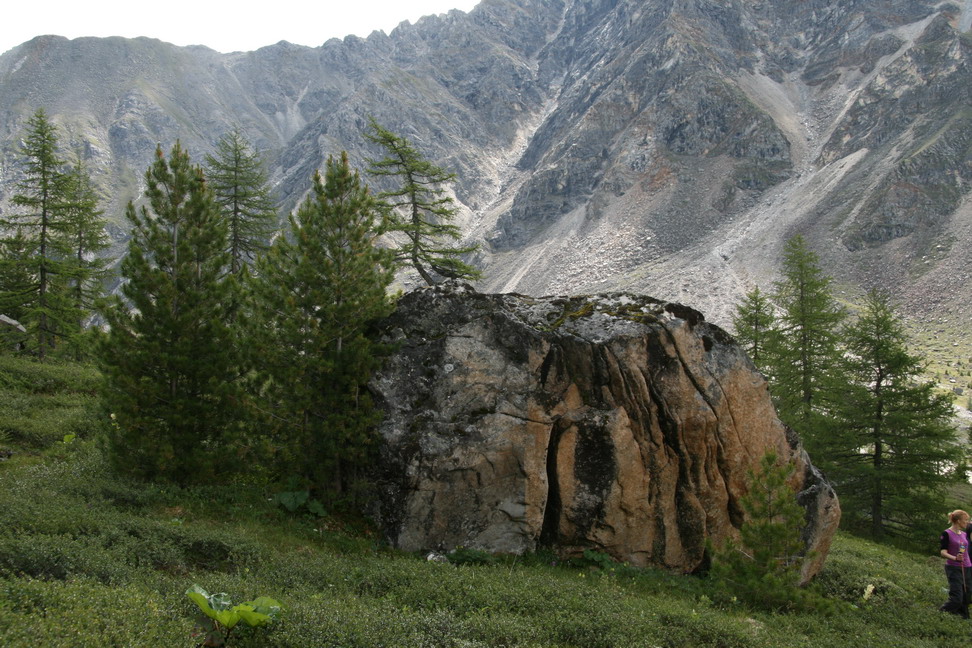
Rocks |
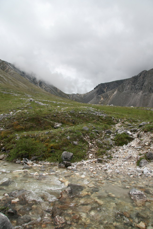
River crossing |
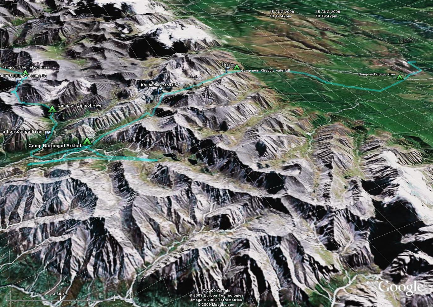
Kubutski mountain crossing, can be seen on the Google Earth picture. Pervomaiski crossing is hidden by the spur on the right. |
Camp near Baromgol River - can be seen on the picture from Google Earth as "Camp Baromgol Arkhat" |
Baromgol river before flowing into Arkhat |

Evening near Baromgol |
Baromgol (right) and Arkhat (left) confluence |

Cedar - Ent of Middle Earth |
"Krugozor" moumtain 2745m or 3042m mountain (?) |
Baromgol canyon before flowing to Arkhat |
Baromgol canyon |

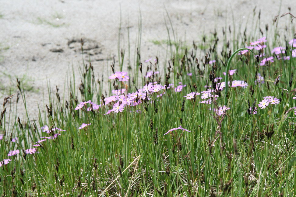
Edelweiss |

Crossing Arkhat near confluence with Baromgol |
Down Arkhat |

Going up Arkhat |
Arkhat and Baromgol |

Camp |
Mount 3042m (?) |
Horses (Asfaloth и Shadowfax probably) |

Dry creek |
Eden |
In the Heavens |
Rock |
Where are we? |
||
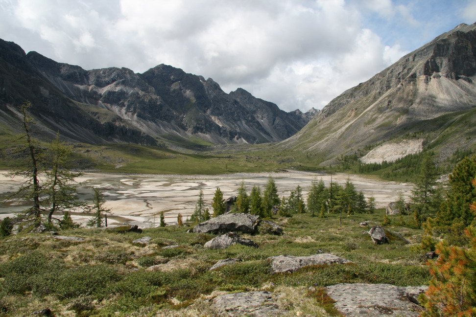
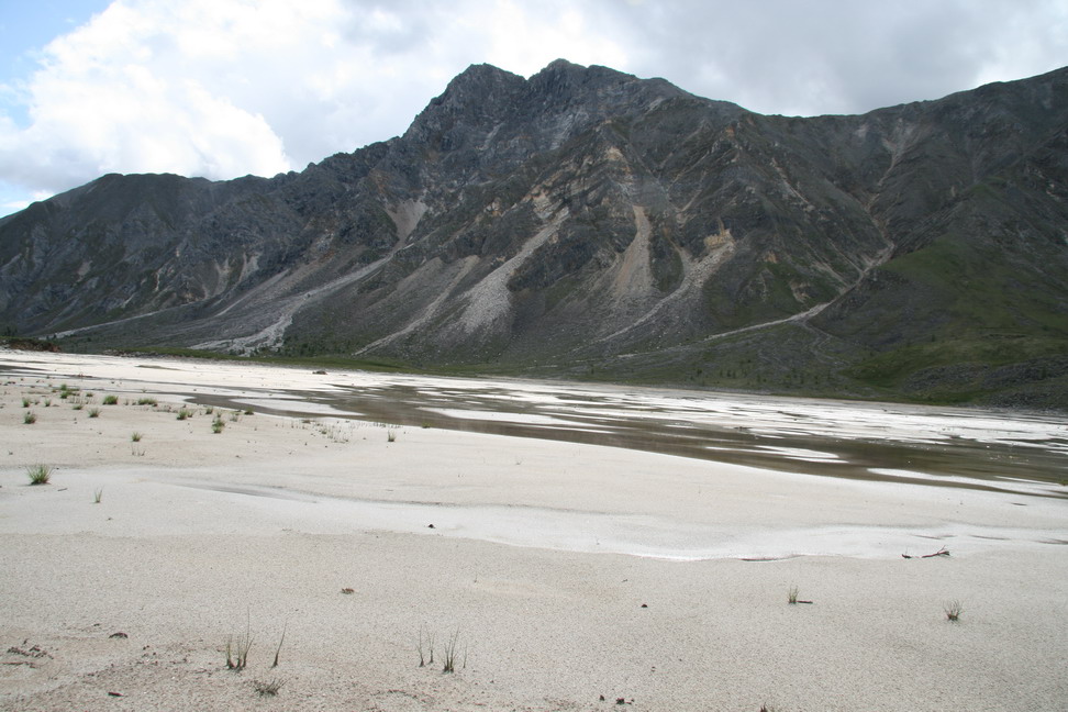
Sand lake |
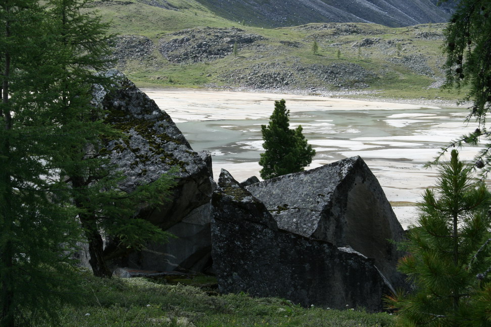
Sand water and rock |
Washed away dam |
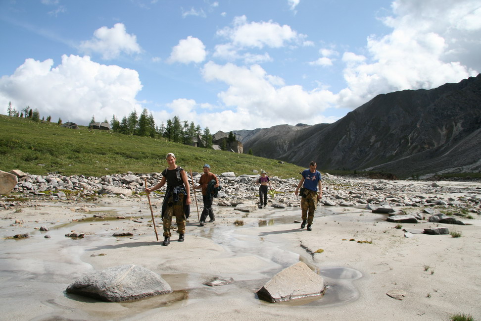
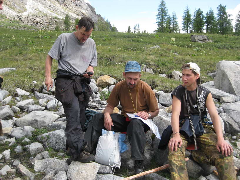
The gang |
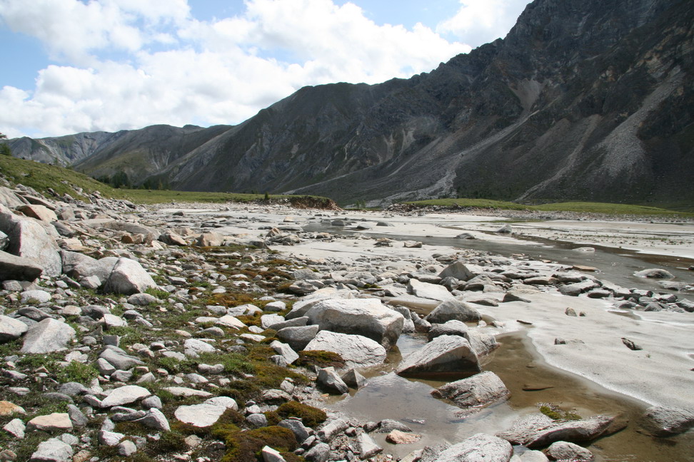
Quick sands |
By the water |
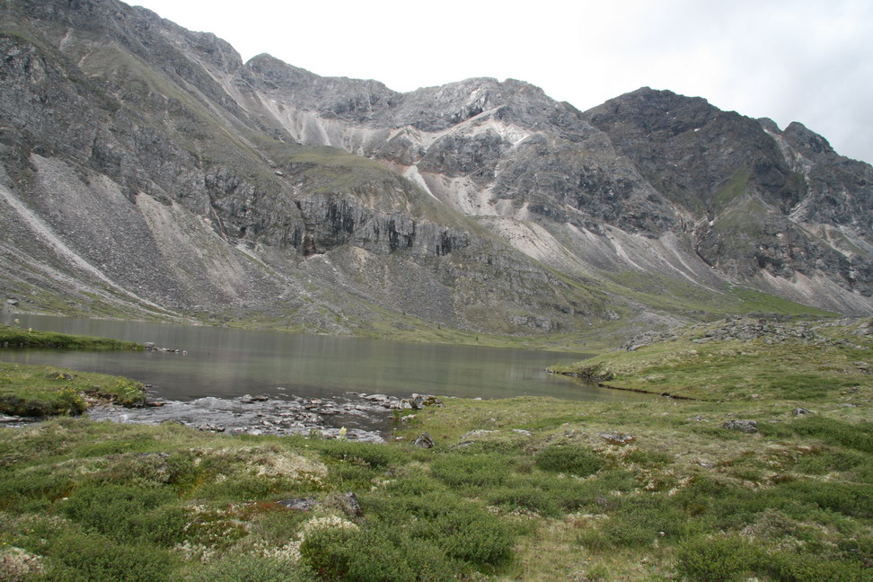
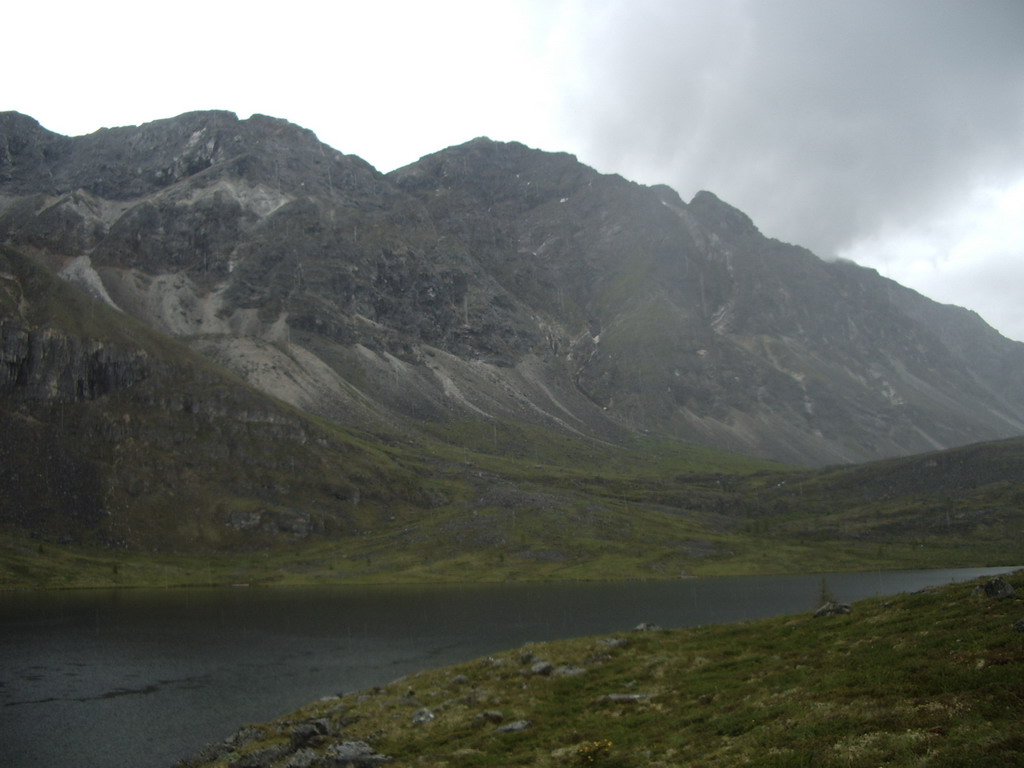
Lower lake in Arkhat upper reach |
Rain starts |
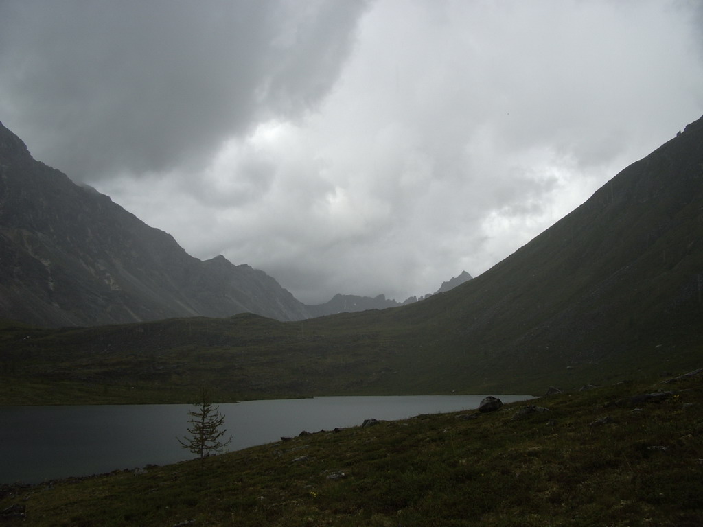
There is another lake up the valley, but we didn't make it because of rain |
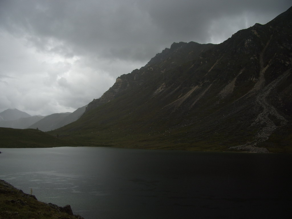
Large and unfriendly |
Upper reaches of Arkhat |
Long finger on our way back |
